Panama. Panama’s Chagres: The World’s Most Valuable River
Rivers are conduits of life. Along with reshaping landscapes and transporting water and sediment, they offer habitat for plants and animals. For humans, they are also important transportation arteries. Just 193 kilometers long, Panama’s Chagres River is insignificant compared to South America’s Amazon (6,516 km), Africa’s Nile (6,695 km), Asia’s Yangtze (6,380 km), or North America’s Mississippi (5,969 km). However, despite its modest length, the Chagres plays an economic role with implications for much of the world’s population. It is the source of nearly all water needed to sustain the Panama Canal.
Originating in rugged mountains north of Panama City, the Upper Chagres flows first into Lake Alajuela, a reservoir created by Madden Dam and then into Gatun Lake which is formed by Gatun Dam. Since the Chagres flows into the Panama Canal, its waters are discharged into both the Pacific and Atlantic Oceans. Encompassing 470 square kilometers, Lake Gatun forms the centerpiece of the Panama Canal system. Massive locks move ships upwards to the lake’s elevation. After crossing the lake, ships enter other locks for the return to sea level.
My tour of Gatun Lake began at a dock where we boarded a small motorboat. We entered the lake after passing through Culebra Cut, an artificial valley that crosses the continental divide. Pausing in coves and along the lake’s shoreline, we stopped to see capuchin, Geoffrey’s, and howler monkeys that peered back at us from tall trees. At one stop our guide handed us peanuts to share with curious capuchins that climbed into our boat. Elsewhere she pointed out various tree species and groups of bats that clung to tree trunks.
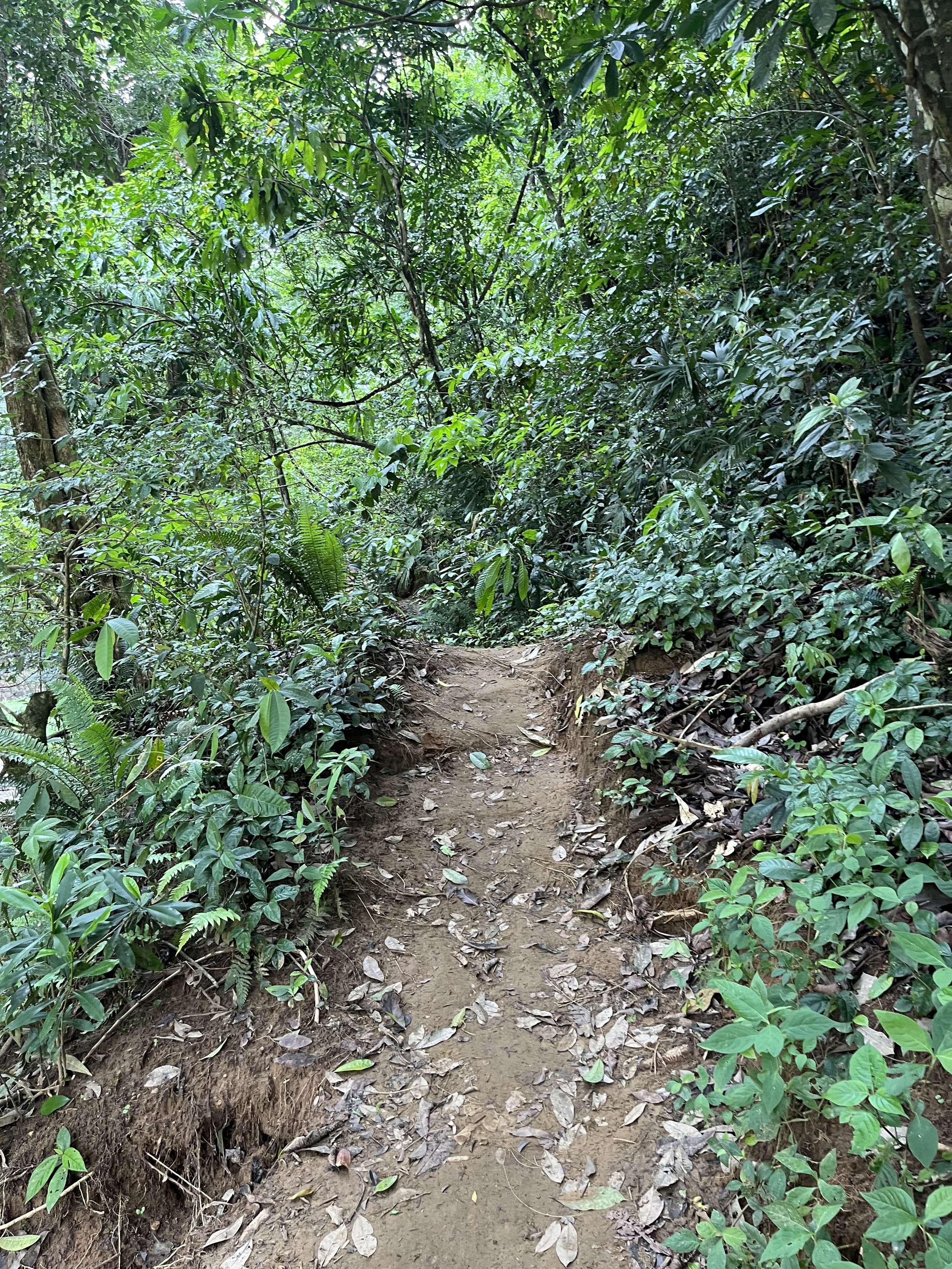
On a separate tour I traveled to see a section of the Upper Chagres River, once described as the most valuable river in the world. With headwaters in the Cordillera de San Blas, the Chagres flows southwest to Gamboa and into Gatun Lake near the Gaillard Cut. Its largest tributaries are the Piedras, Limpio, Chico, San Juan, Indio, and Boqueron Rivers. The Chagres was first seen by Europeans during Hernando de la Serna’s expedition in 1527. In 1670, the English pirate Henry Morgan and his men traveled on the Chagres before attacking Panama City. Animals found in the vicinity of the river include white tailed deer, jaguar, puma, ocelot, crocodiles, and monkeys. There is also an abundance of fish including sabalo, barbudo, and pipon. Encompassing portions of the river, the 1,300 square kilometer Chagres National Park was established in 1985 to protect the river and its watershed. Within its boundaries are rainforest, montane forest, and tropical pre-montane forest. Driving from Panama City, we walked a short distance to the river’s edge where we boarded a hampá (dugout canoe) powered by an outboard motor. Traveling upstream, it took about 20 minutes to reach the Village of Emberá. We stopped briefly before motoring farther upstream. Disembarking on a sandbar, we followed a trail through the rainforest to a low waterfall. I made a poor choice of footwear. Tiny pebbles became wedged between my bare feet and leather sandals as I crossed streams and muddy swampland.
After our hike we returned to the Village of Emberá. The Emberá (aka Chocó or Katío) people migrated to the banks of the Chagres River from the Darien Rainforest, near Panama’s border with Columbia. The name “emberá” is somewhat generic, meaning “person” or “indigenous person” in the local language. About 33,000 people in Panama and 50,000 in Columbia identify as Emberá. In the mid-20th century, the Emberá began lobbying the Panamanian government for formal recognition of their territory.
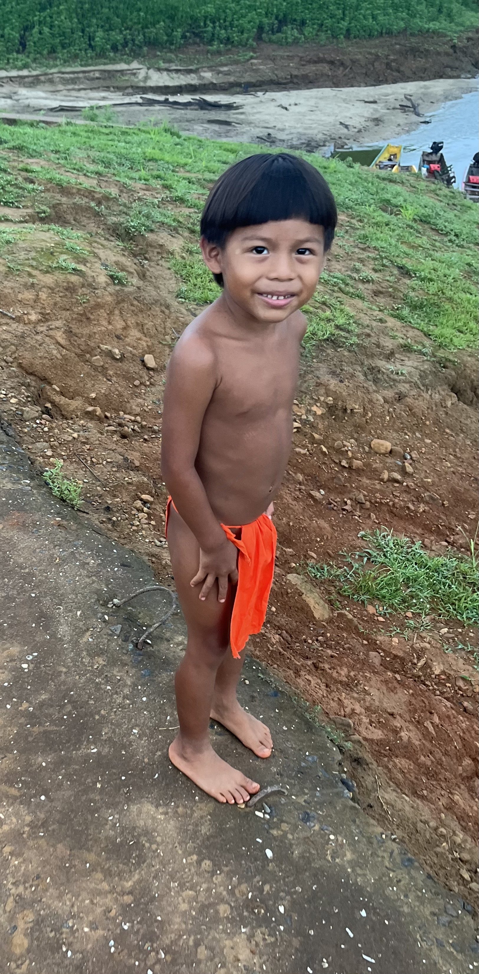
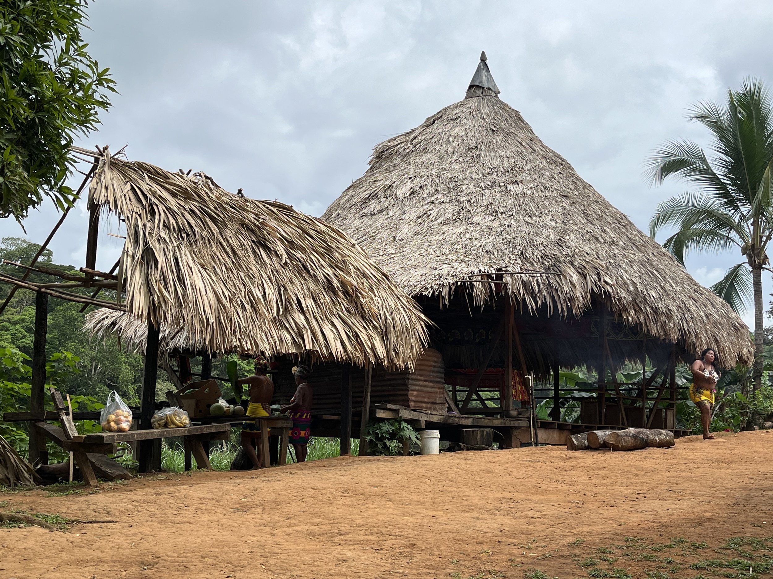
Most men in the village had “bowl” haircuts and wore loincloths while women donned brightly colored skirts. Some had painted their bodies with a dye from genip trees. Fishing and selling handcrafted basketry, groups of Emberá that have settled along the river maintain their language and beliefs about the natural world. Although fishing is an important food supply, most of their income comes from tourism. Huts in the village are open-air with wooden stilts that raise them two to four meters above the ground. Covered by a thatched roof, the round dwellings provide space for an extended family. A log with foot-sized notches is used as a ladder to reach the hut’s main level. We were served a lunch of tilapia and patacones (fried plantains) wrapped in banana leaves. Afterwards we were invited to a large hut where men and women demonstrated ceremonial dances. We also had an opportunity to see baskets and other items woven from chunga (black palm fronds). Waiting for my return boat ride, I spoke with the village’s chief in my broken Spanish. After we agreed to exchange contact information, he tapped my name and phone number into his iPhone 15.


