Arizona. The People of Ledge House: Cliff Dwellings of Navajo National Monument
A Navajo proverb states, “Be still and the earth will speak to you.” Navajo National Monument is a place of serenity and reflection that preserves three cliff dwellings of the ancestral Puebloan people. The monument’s sheer cliffs, outcrops, and sand are located on the Shonto Plateau, west of northcentral Arizona’s town of Kayenta. Positioned in shallow sandstone alcoves, its three cliff dwellings are Keet Seel (aka Broken Pottery), Betakin (aka Ledge House), and Inscription House. The recesses have been created where water moves vertically through porous Navajo sandstone and then horizontally within less porous Kayenta limestone and shale. Emerging from the rockface, the moving water contributes to balling, sheeting, and cracking within the cliff side.
Despite the monument’s name, the Navajo are not descendants of the cliff dwelling builders. Kayenta Anasazi who constructed their homes in the rocky alcoves grew crops, made pottery, and traded with other groups to acquire turquoise, cotton, and shells. Keet Seel was first occupied around 1200 AD. The principal crops grown by the Ancestral Puebloan were maize, beans, squash, and a gourd called cucurhits. They also hunted wild game. At its zenith, Keet Seel could accommodate 150 people. The adobe structures were built by men, women, and children using sandstone blocks held together by mud and mortar. Along with providing shelter, the dwellings offered a defensive position in the event of an attack. It is believed that declining rainfall between 1276 and 1299 led to the final decision to abandon the site.
Northern Arizona’s Hopi have a long history with the monument’s cliff dwellings. For hundreds of years the dwellings served as stopovers along sacred Hopi migration routes and today, some Hopi clans continue to visit the sites. Navajo people arrived in the area in the 18th century. Soon after, the Navajo became involved in conflicts with their Hopi and Puebloan neighbors and with the U.S. Army. In 1863-64, the U.S. Army invaded Navajo lands. Dozens were killed and many villages destroyed. Subsequently many Navajo families were forced to walk thousands of kilometers to Ft. Sumner, New Mexico.
The first persons of European descent to see the cliff dwellings were the Wetherill brothers in 1895. It was Richard Wetherill who coined the term “Anasazi” which means “ancient people.” Members of a ranching family, the Wetherills later led tours through the canyon. The canyon and cliff dwellings were declared a national monument in 1909. Three years later the monument was decreased in size to three areas: 65 hectares around Keet Seel, 65 hectares around Betakin, and 16 hectares around Inscription House. Today, sheep and cattle ranching remain important components of life within Betakin Canyon.
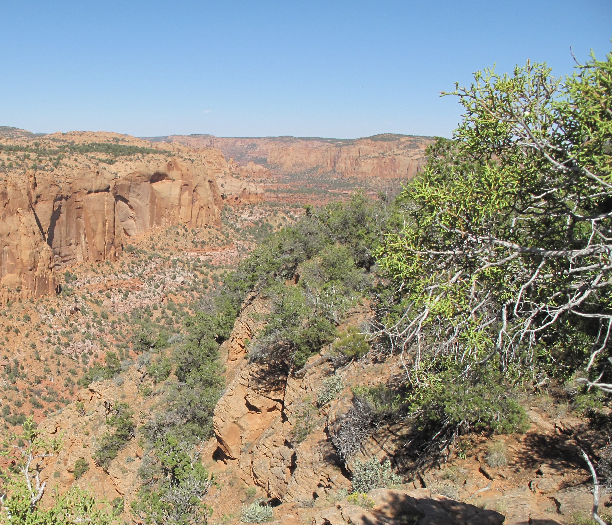
The monument is 22.5 kilometers west of Kayenta. We drove east on U.S. Highway 160 and then north on New Mexico State Road 564 to reach the visitor center. From the visitor center parking lot, we followed the 2.1-kilometer (round trip) Sandal Trail that terminates at an overlook. The path begins at 2,225 meters above sea level and drops 30 meters in elevation before reaching the Betakin Ruins Overlook. On each side of the trail, we passed dwarf piñon pine and gnarled juniper. Vegetative communities found in the monument include mesic canyons. Mixed conifers such as Ponderosa pine, and piñon-juniper woodlands are found at higher elevations. At lower elevations are grasslands, desert scrublands, and bottomland that contain stands of aspen, fir, and cottonwoods. All three cliff dwellings are in close proximity to seeps and springs.
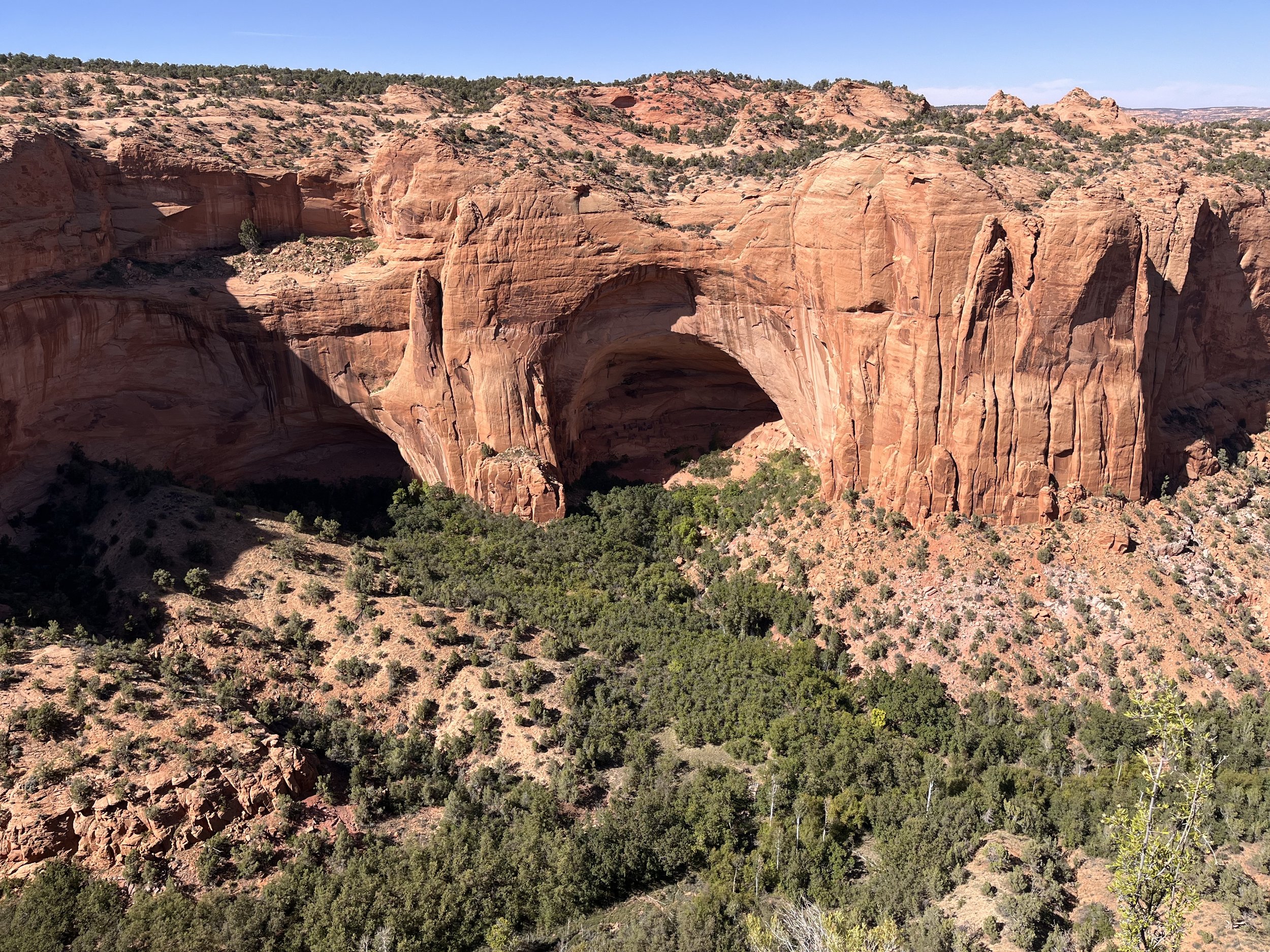
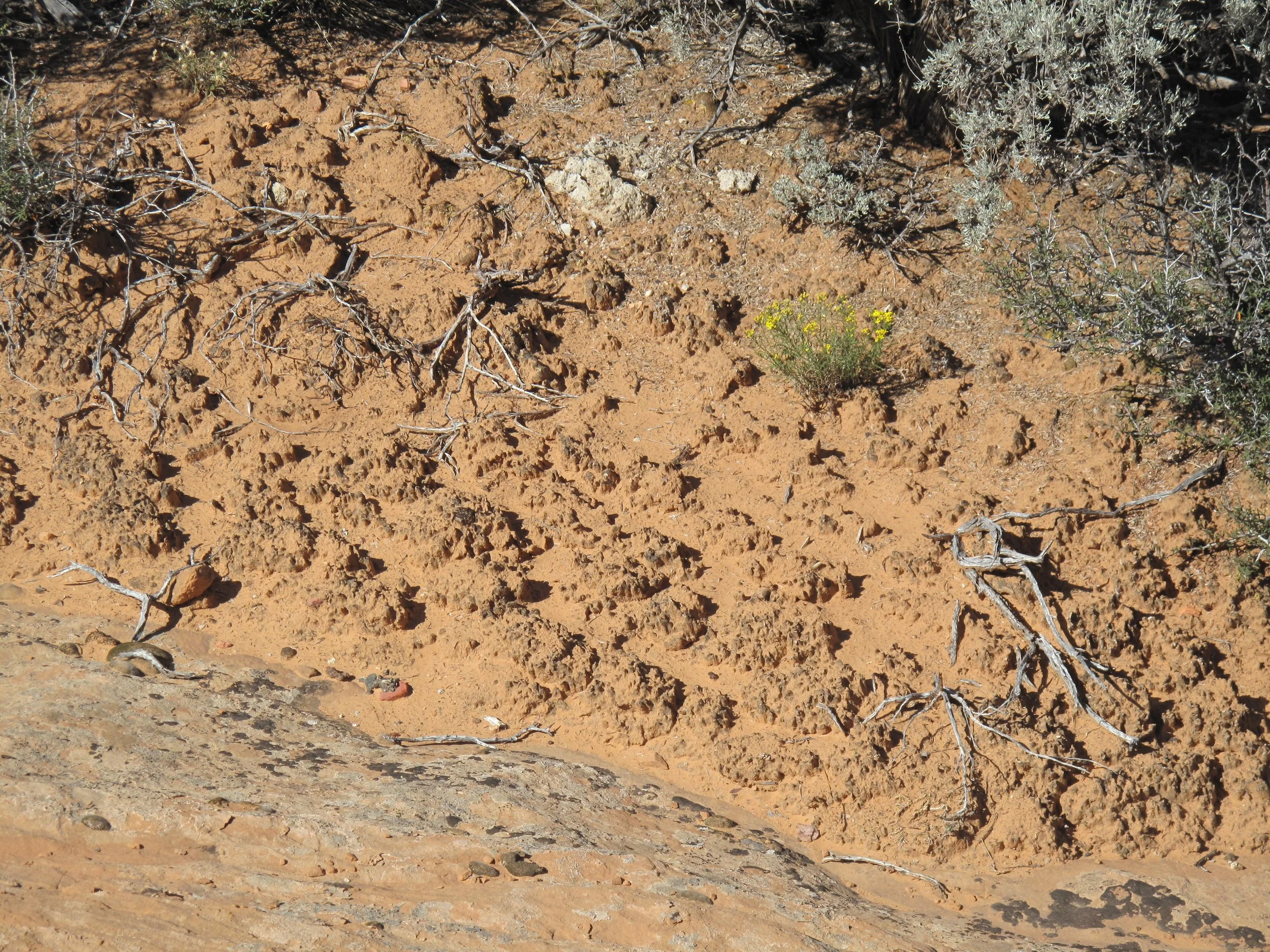
Looking across Betakin Canyon we could see Betakin Ruins at the base of a high rock wall. Betakin means “house built on a ledge” in Navajo and “place of the corn tassel” in Hopi. Constructed between 1267 and 1286, the cliff dwelling is located within an alcove measuring 138 meters high by 110 meters wide. The building complex faces south, providing warmth in the winter and cool shade in the summer. Betakin once had 80 rooms but just ten have survived along with a single kiva. The trail through the floor of the canyon to the ruins is open from Memorial Day until Labor Day. On my return to the visitor center I stopped to look at cryptobiotic soils near the trail. Crypto means “hidden” and biota means “life.” Cryptobiotic soils are found where cyanobacteria release gelatinous filaments that hold soil particles together. The resulting crusty surface is both organic and inorganic. Cryptobiotic soils are easily damaged by walking on them, and once the surface has been compressed it can take years to recover.


