New Mexico: Cracked Eggs, Bloated Mushrooms, and Other Oddities of the Bisti Wilderness
A few years ago, I saw photos of northwestern New Mexico’s Bisti De-Na-Zin Wilderness. I knew that I had to visit this bizarre and barren place. Located near the Four Corners Region and about 58 kilometers south of Farmington, New Mexico, Bisti features rocky badlands and eroded landforms of mudstone, sandstone, silt, and shale. Pronounced “bis-tie,” the first part of its name means “large area of hills of shale” in Navajo while “de-na-zin” is Navajo for “cranes.” Managed by the U.S. Bureau of Land Management (BLM), Bisti De-Na-Zin is a 182 square kilometer federally designated wilderness that is closed to mechanized vehicles. The area has no established trails.
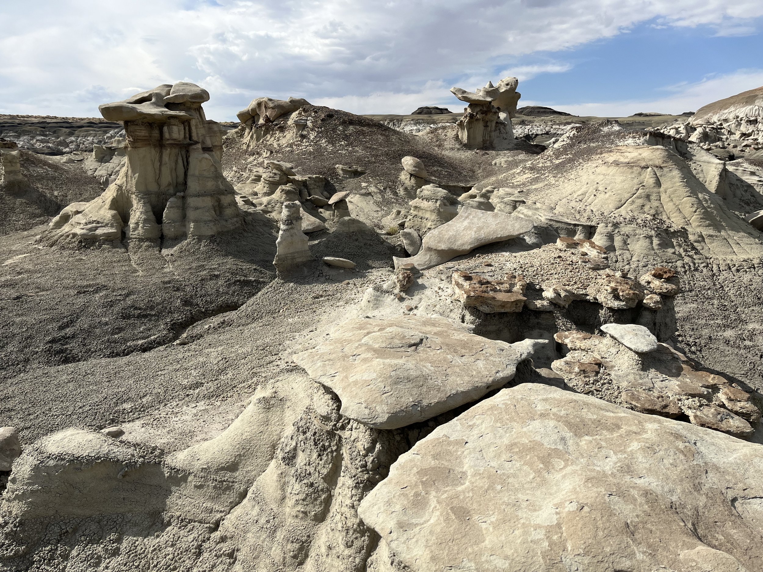
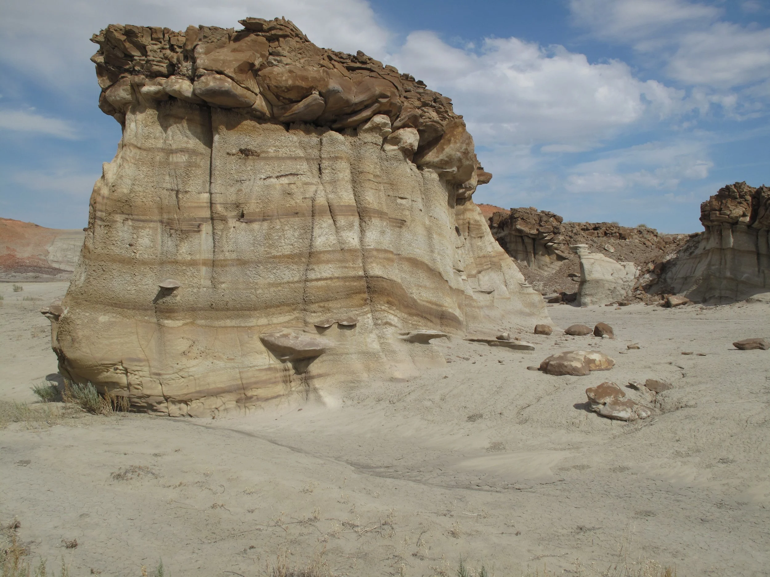
With an otherworld feeling, the Bisti Wilderness is visually stunning. Along with small mesas and buttes topped by dark caprock are gnarled sandstone hoodoos, wind-sculpted spires, and twisted pinnacles. Elsewhere there are odd surfaces covered by rocky formations that look like bloated mushrooms or cracked eggs. Created in 1984, the wilderness is surrounded by Navajo land. Crossing Bisti are east-west valleys that drain southward into the Chaco River. The plains of Bisti are at 1,981 meters above sea level while the badlands are 70-90 meters lower. The area is dry, receiving an average of just 203 millimeters of precipitation each year. As a result, vegetation is limited to cacti, tumbleweeds, and sagebrush. Mammals found in the wilderness include rabbits, prairie dogs, and coyotes. There are also birds including hawks, eagles, and falcons.
The region containing the Bisti De-Na-Zin Wilderness was once coastal swampland. About 74 million years ago a massive inland sea covering much of North America began to retreat to the northeast. Shale and beds of coal were left behind along with layers of brown and white sandstone and green siltstone. Ornithopods (plant eating) and theropods (meat-eating) dinosaurs roamed the landscape. At some point the dinosaurs disappeared. Scientists believe that they were victims of a comet or asteroid that struck earth 65 million years ago near the northern tip of Mexico’s Yucatan Peninsula. The resulting toxic brew of sulfuric acid and dust remained suspended in the atmosphere for decades, reducing sunlight needed for plant growth and plunging the planet into a deep chill. Replacing the dinosaurs were smaller and better adapted mammals, crocodiles, lizards, and turtles.
As the ocean disappeared, it left behind a 427-meter layer of mudstone, sandstone, shale, and coal that lay mostly undisturbed for 50 million years. During the second half of the last ice age (about 6,000 years ago), fossils, hoodoos, spires, and other features were exposed by wind and water erosion. Petrified wood from an ancient rainforest was also uncovered, the remains of ancient conifers, palm trees, and other vegetation. Over centuries, temperature fluctuations have contributed to rock weathering while wind and water erosion, especially flash floods, have modified the surface and carried away rocks and loose sediments.
Today the Bisti Wilderness is among the world’s best places for finding fossils that span the Cretaceous era. In 1997, the “Bisti Beast,” a ten-meter-tall tyrannosaurs, was discovered. The beast was a smaller version of flesh-eating tyrannosaurus rex found elsewhere. Other fossils discovered in the wilderness include a duck-billed Parasaurolophus and an herbivore called Pentaceratops. It’s also possible to find marine fossils including mollusks and terrestrial invertebrates such as insects and crustaceans.
We drove north on New Mexico Highway 371 to a sign marking the Bisti De-Na-Zin Wilderness turn-off and then east for 3.2 kilometers to a “T” intersection. Turning north, the Bisti parking area is another 1.6 kilometers. Since Bisti is without trails, we marked our vehicle’s location with a GPS device before leaving the parking lot. The first section of our hike was across a sandy wash. Two main washes cross through the wilderness following an east-west orientation: Hunter to the north and Alamo Wash to the south. We passed hoodoos, mushroom-shaped rocks, and other landforms created through differential erosion where hard caprocks protect softer rock below. Geologists recognize four intervals or “formations” within the wilderness. The oldest is the Fruitland Formation, the remnants of a swampy landscape that covered the area 74 million years ago. Next most recent are thick shales and siltstones of the Kirtland Formation. Generally speaking, the western parts of the wilderness are covered by the Fruitland Formation while Kirtland shales are more common in eastern areas that appear as a zigzag of dissected streambeds between low, rounded hills. The most recent formation is the Ojo Alamo, comprised of white sandstones and dark mudstones. The last and most recently formed layer is the Nacimiento Formation with its candy-stripped layers of red, black, and white colored rocks. There are also areas that have been blanketed with volcanic ash. In a few places are layers of coal and “clinkers” that resemble pieces of pottery. Clinkers are created by coal fires that burned for hundreds of years. High temperatures from the fires heated clay layers above like a ceramic mug inside a kiln. Clinkers are named from the sound they make when they are stepped on. Elsewhere are maze-like pathways, deeply eroded cliffs, and narrow ravines. After two hours of exploration, we were ready to return to our vehicle. Fortunately, we did so without the need to consult the GPS location we saved.


