Kansas. A Pueblo in the U.S. Great Plains? The Ruins of El Cuartelejo
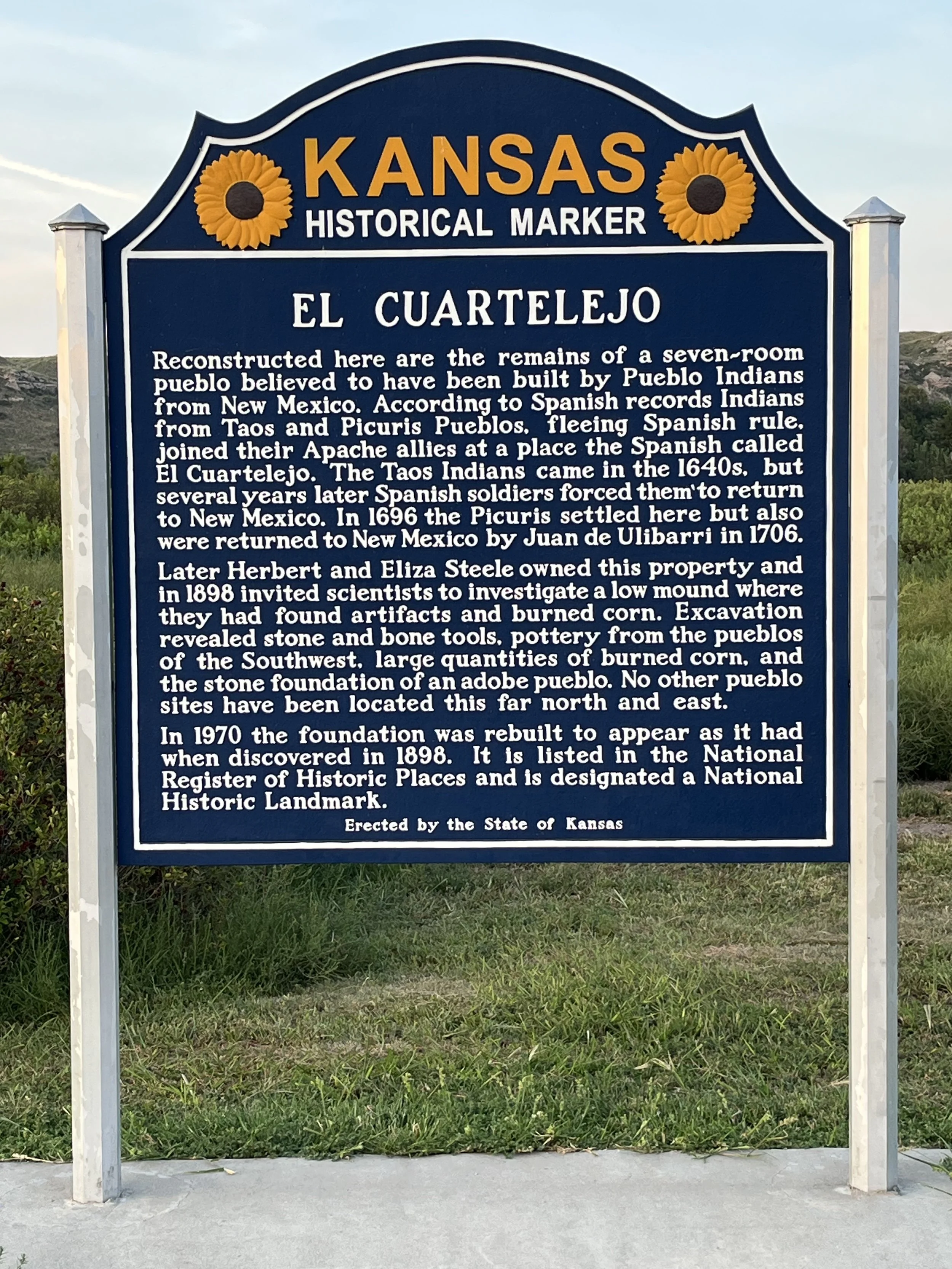
Most archaeologists and historians associate Puebloan and ancestral Anasazi peoples with an area of the U.S. southwest centered on the Four Corners Region (the meeting point of Arizona, New Mexico, Colorado and Utah). Some examples of Anasazi dwellings include Montezuma’s Castle in Arizona, New Mexico’s Chaco Canyon, and Colorado’s Mesa Verde. It came as a surprise to me that there is a Pueblo dwelling as far east as Kansas. Once a seven-room structure, the El Cuartelejo ruins (aka the Scott County Pueblo) is located within Lake Scott State Park and about 21 kilometers north of Scott City. The name “El Cuartelejo” comes from “cuartel” meaning “room” and “lejo” meaning “far away.” Situated near streams and natural springs, the ruins are shielded by bluffs from harsh winter weather. Archaeological evidence shows that this location was first occupied by humans around 1450. By 1640, semisedentary western Apache were living in present-day Kansas. During the 15th century, a group living in the Taos Pueblo (located northwest of Santa Fe) revolted against Spanish priests and landowners in Nuevo Mexico. At the time, the Spanish had subjected the native population to encomienda, a type of slavery where the indigenous population was forced to live and work on land owned by wealthy Spaniards.
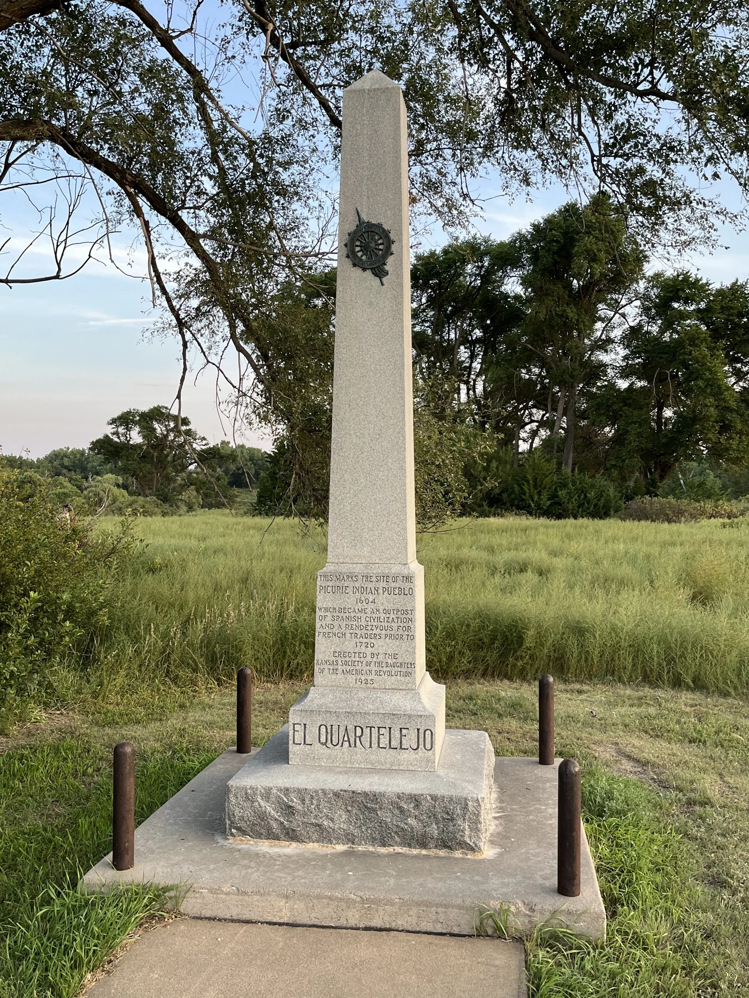
After leaving Taos, the Puebloans settled at El Cuartelejo, living peacefully with the Apache. Soon after, Spanish Lt. Juan de Archuleta and his soldiers forced the Puebloans to return to Nuevo Mexico. In 1696, a group of Picuris Puebloans fleeing Nuevo Mexico arrived at El Cuartelejo. About a decade later this group too was forced back to Nuevo Mexico by Spanish soldiers. Sometime after 1719 the site was abandoned. French traders occupied the site for a brief period in the early 1720s and in 1898 the ruins were rediscovered by Herb Steele. Steele and his wife Eliza had homesteaded just south of the site. In 1925, the Daughters of the American Revolution (DAR) erected a marker to document the site’s occupation by Puebloans and in 1964, El Cuartelejo was designated a national historic landmark.
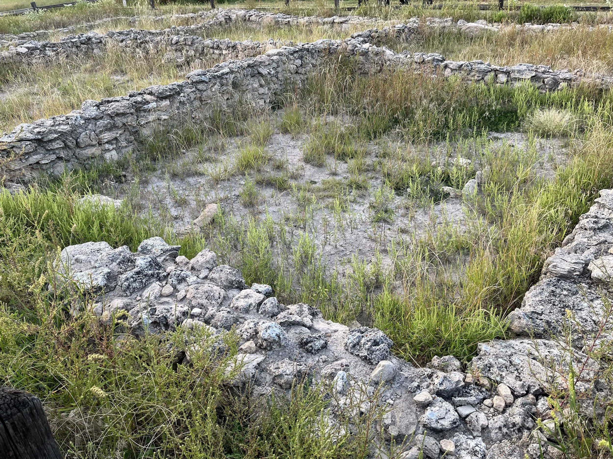
My companion and I spent a night at Lake Scott State Park before visiting the ruins. On the basis of its rock foundations, we estimated that the pueblo structure covered an area of 10 by 15 meters. With rock hearths and ovens, the foundations looked similar to others I’ve seen in the U.S. Southwest. Archaeologists believe that the stone buildings were covered by roofs made from willow poles topped by brush and adobe. Nearby, we saw channels that once carried water to irrigate the Puebloan’s crops. Today, El Cuartelejo is believed to be the northernmost and easternmost pueblo in the U.S.
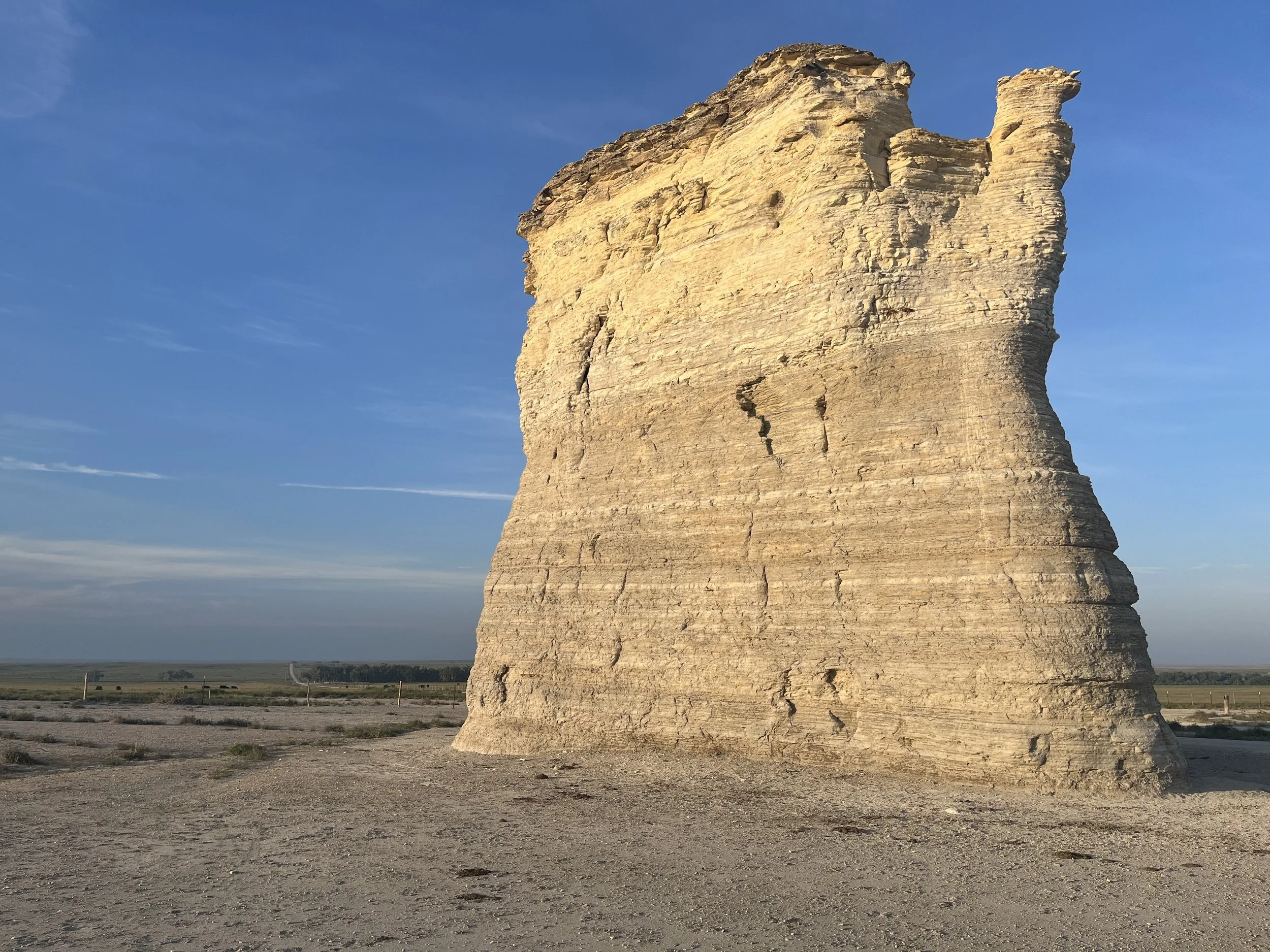
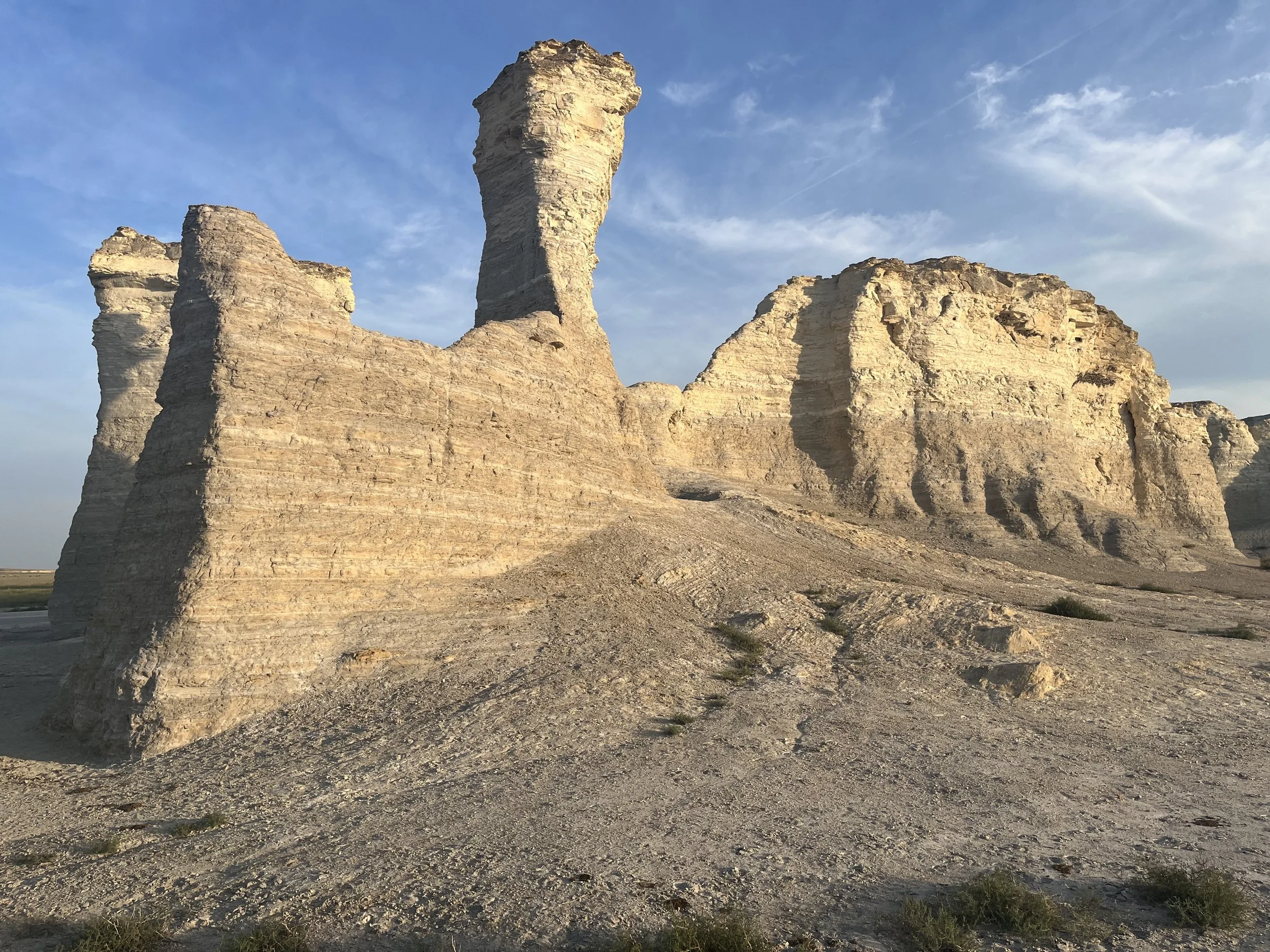
Our exploration continued a few kilometers north where we visited Monument Rocks (aka the Chalk Pyramids) in an area known locally as the “Badlands of Kansas.” The Rocks are 40 kilometers south of Oakley, Kansas and near U.S. Highway 83. The final leg on County Road 14 took us past cattle and buffalograss covered prairie. Visitors should be aware that the 0.04 square kilometer site is on private land with no facilities. However, there are a few interpretive signs that explain the site’s geology and history. For the next 40 minutes my companion and I circumnavigated two groups of sand-colored bluffs.
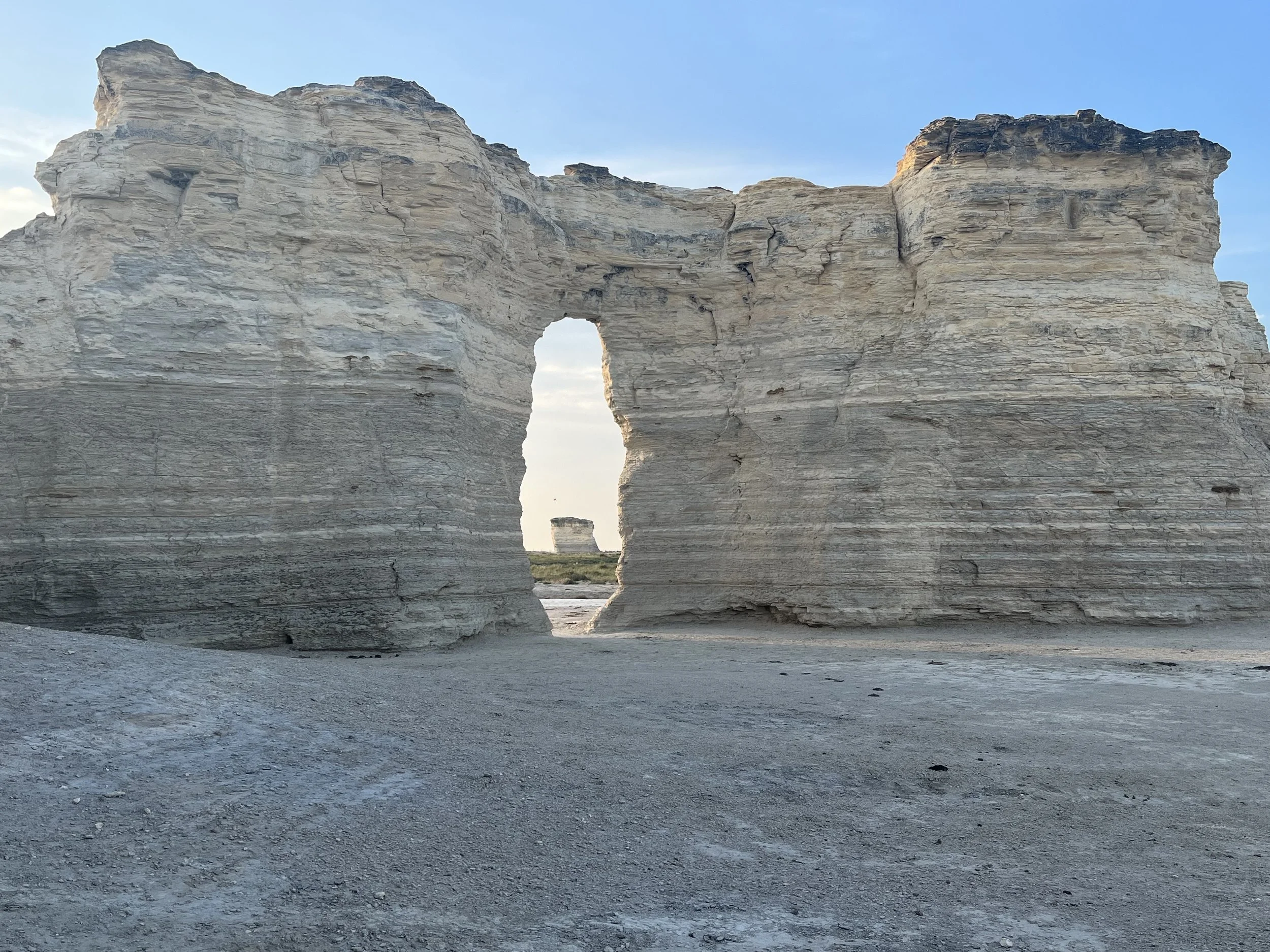
Reaching heights of 21 meters, the “rocks” are chalky bluffs that appear out of place within a landscape of grass-covered ranchland. On the edge of one butte is an opening known as Keyhole Arch. Locals believe the “arch” was formed where a bullet penetrated a thin spot in the rock that grew wider over time. The bluffs represent carbonate deposits of the Cretaceous Period when a massive area extending from present-day Canada to the Gulf of Mexico was covered by a shallow inland sea. The bluff’s Niobrara Chalk was created by the erosion of a seabed formed 80 million years ago. Over time the shells of microscopic organisms called foraminifera fell to the sea bottom, forming ooze that grew at a rate of 0.036mm per year. Eventually the accumulation reached a thickness of more than 100 meters. Interspersed within the ooze were skeletal remains of fish, turtles, and birds that can be found today as fossils embedded within the chalk. Larger fossils including mosasaurs (a large swimming reptile) and giant clam shells have also been found.
More recently, Kiowa, Apache and Sioux peoples used the area for hunting. Monument Rocks were known as a landmark on the Smoky Hills Trail used by pioneers traveling west. This trail was the main route between Atchison, Kansas, and the Colorado gold fields during the 1859 Pikes Peak Gold Rush. In 1865, a station was established at Monument Rocks for a stagecoach service called the Butterfield Overland Dispatch.

