Idaho. Lava Flows and the World’s Deepest Open Rift Crack
It may come as no surprise that the continental U.S. has some of the world’s most extensive and unusual volcanic landscapes. One of the largest areas shaped by volcanic activity is in southeastern Idaho. Fifteen million years ago, the region experienced massive eruptions as a migrating “hotspot” or area of thermally buoyant material, pushed upward from the Earth’s mantle. This zone of weakness, called a crustal “rift,” resulted in flows of molten rock that incinerated trees and covered more than 1,600 km2. Eight major eruptions, each lasting for several hundred years, reshaped the landscape, leaving behind unique volcanic features such as cinder cones, splatter cones, and lava tubes. Today, Craters of the Moon National Monument preserves what geologists and volcanologists describe as the deepest (240m) open rift crack in the world. Located in the Snake River Plain, near the towns of Carey and Arco, the monument’s lava fields are midway between Yellowstone National Park and Boise, Idaho.
The region around the monument has been occupied by humans for at least 12,000 years. Piute and Shoshone Indians knew of the lava fields and created stories to explain their formation. For example, a Shoshone legend tells of a snake that wrapped itself around a mountain after being angered by lightning. When the snake squeezed, fire shot outward from cracks. The first European to document the lava fields was U.S. Army Captain BLE Bonneville who visited the area during the nineteenth century. Subsequently, farmers looking for fertile land and prospectors searching for gold traveled through or around the flows.
The name “Craters of the Moon,” was coined by geologist Harold Thornton Stearns who suggested that the area’s unique features were deserving of federal protection. The monument was created in 1924 with the purpose of preserving “…unusual and weird volcanic formations.” Since that time, the monument has become a popular tourist site and scientific laboratory. NASA astronauts visited in 1969 to study volcanic geology in advance of moon missions. President Clinton expanded the monument to its present size of 3,050 km2 in 2000. Today the monument is jointly managed by the National Park Service and Bureau of Land Management.
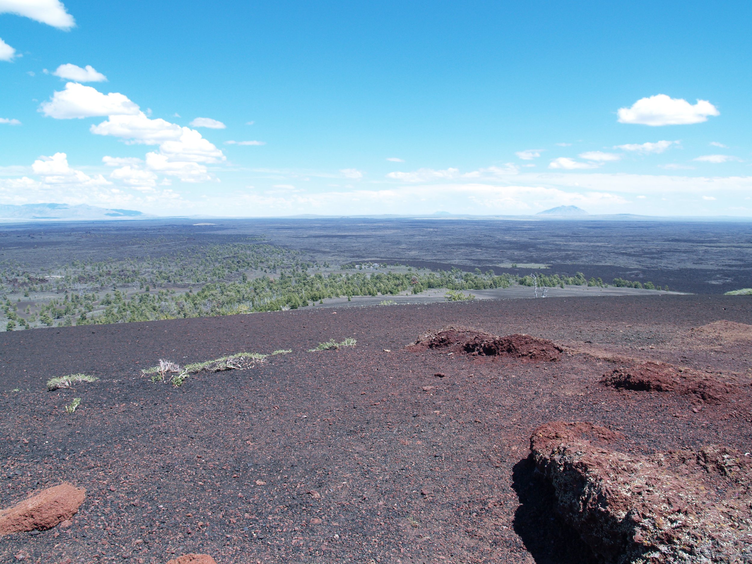
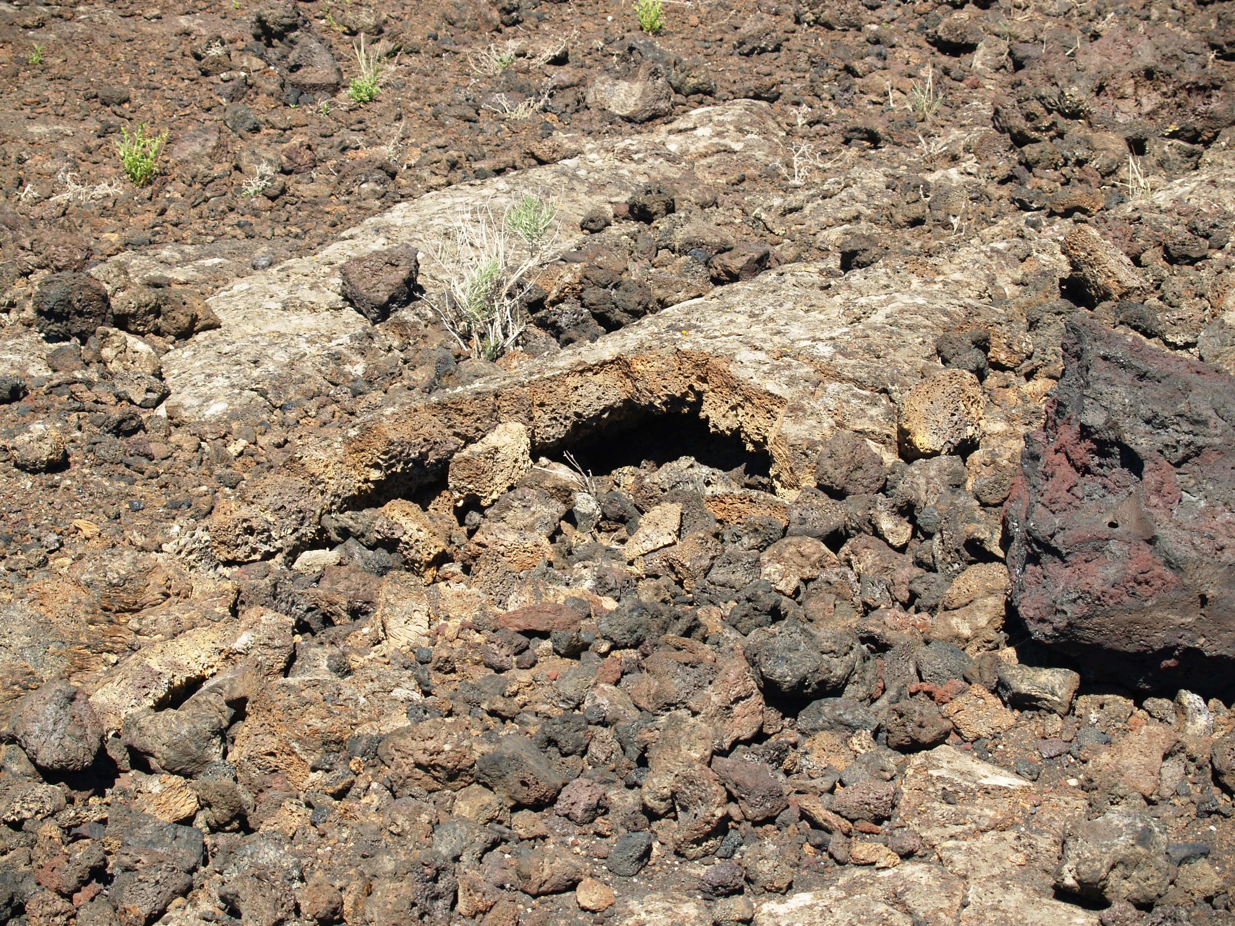
The monument’s main attractions are its three lava fields with basaltic features that include splatter cones, lava tubes, and cavities created by lava-incinerated trees. Located at an average elevation of 1,800 meters, the monument’s landscape is dry. Protected from sunlight, some lava tubes and pit craters shelter winter snow and ice. Elsewhere, heat absorbing lava contributes to temperatures that can climb to 65°C. Despite its sometimes harsh environment, the monument has more than two thousand insect species and six hundred known species of plants including sagebrush, mock orange, dwarf buckwheat, and limber pine. A partial list of mammals includes bats, owls, foxes, mule deer, and marmots.
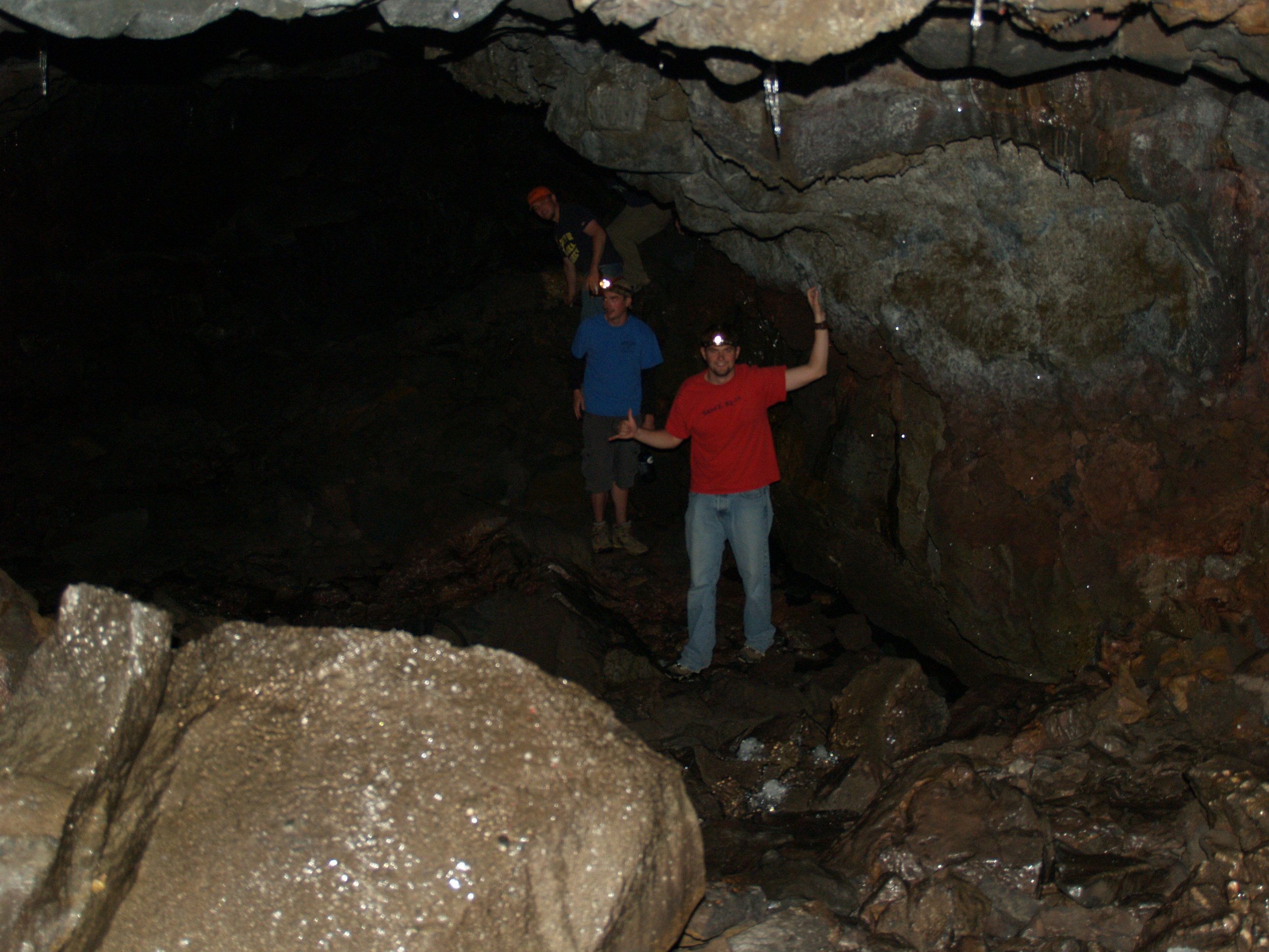
A seven-mile loop road offers access to the monument’s most unusual volcanic features including sections of rope-like pahoehoe lava and chunky ‘a’a lava. With greater viscosity, pahoehoe lava oozes like molasses while drier ‘a’a lava is rough and jagged. Walking trails took us past lava flows, lava tubes, splatter cones, and cinder cones. Lava tubes form when lava thickens, insulating deeper flows below. As the surface hardens the molten inner core continues to move and when the eruption ends, lava in the inner tube empties, creating a tube-like cave. Of more than seven hundred caves located within the monument, the majority are lava tubes including Bear Trap Cave and Indian Cave. As a safety measure, visitors must obtain a permit before exploring the monument’s caves.
Another short trail from the main road led to a spatter cone called Snow Cone. Spatter cones are formed by lava with small quantities of gas pushing upward. In contrast to cinder cones, they have steep sides caused by particles sticking together. Cinder cones are created when gas-rich magma ejects blobs of lava in a fiery cascade. As the cinders fall, they cool and solidify, forming large circular or oval piles of rock around the vent. Examples of cinder cones at Craters of the Moon are Inferno Cone, Sunset Cone, and Big Cinder Cone. The monument’s central lava field is King’s Bowl (3.3 km2), a phreatic pit where magma mixed with water in an explosive eruption. Another impressive flow is the 326 km2 Wapi Lava Field that contains a shield volcano. Shield volcanoes have gently sloping sides (about 1°) and form within lava containing low concentrations of gas.


