Utah. The Danger Unseen: A Slot Canyon in the Colorado Plateau
With smooth, sculpted walls, slot canyons are narrow gorges carved into layers of sedimentary rock by river flow and periodic flash floods. If Arizona’s Grand Canyon represents a wide and expansive canyon, slender slot canyons are at the opposite end of the spectrum. Although found in dry parts of Australia and Europe, the world’s largest number of slot canyons is in the Colorado Plateau (aka Red Rock) region of the U.S. southwest that includes portions of Utah, Colorado, Arizona, and New Mexico.
Located in southern Utah near the border with Arizona, Buckskin Gulch is among the longest (35 kilometers) and deepest (151 meters) slot canyons in the world. The canyon was created by flash floods that eroded Jurassic-age Navajo sandstone formed 180 million years ago by the hardening of dunes. Millions of years of erosion have deepened and reshaped layers of red, beige, and brown sandstone as regional uplift pushed from below. Geologically speaking, the gulch is young, perhaps five to ten million years old. Water flowing in the gulch drains into the Paria River and eventually, Lake Powell. Today, the gulch is inside the Paria Canyon – Vermillion Cliffs Wilderness Area, part of Grand Staircase – Escalante National Monument. The monument is managed by the Bureau of Land Management (BLM). To an observer on the surface, Buckskin Gulch is mostly hidden from view. Looking from high above, it appears as a narrow and jagged tear in an otherwise flat desert surface.
While beautiful, the canyon’s unusual geography is responsible for hazardous events that have taken human lives. Unseen by hikers and campers, heavy rains produce runoff that is slow to soak into the sandstone. Funneled into side canyons, the flow becomes deeper and more violent as it enters slot canyons such as Buckskin Gulch. Contributing to the danger are logs and boulders known as “strainers” that can trap people in the raging torrent. In August 1997, eleven tourists from France were killed in nearby Antelope Canyon by a sudden flash flood. Because of its similarities to Antelope Canyon, Backpacker Magazine rated Buckskin Gulch as among the ten most dangerous hikes in America. Indeed, in March 2023, three hikers were killed in Buckskin Gulch by fast moving water and debris from a flash flood. Eighteen others were pulled out of the canyon using a helicopter.
In an effort to monitor and track visitors, the BLM requires day hikers and campers to obtain a permit in advance of entering the canyon. Of utmost importance is to check weather forecasts for the possibility of heavy rain before entering the canyon. Even showers eighty kilometers away can pose a hazard. Contributing to the Gulch’s status as a “hot spot” for life threatening incidents are its inaccessible sections that offer no chance of escape from fast moving flood waters.
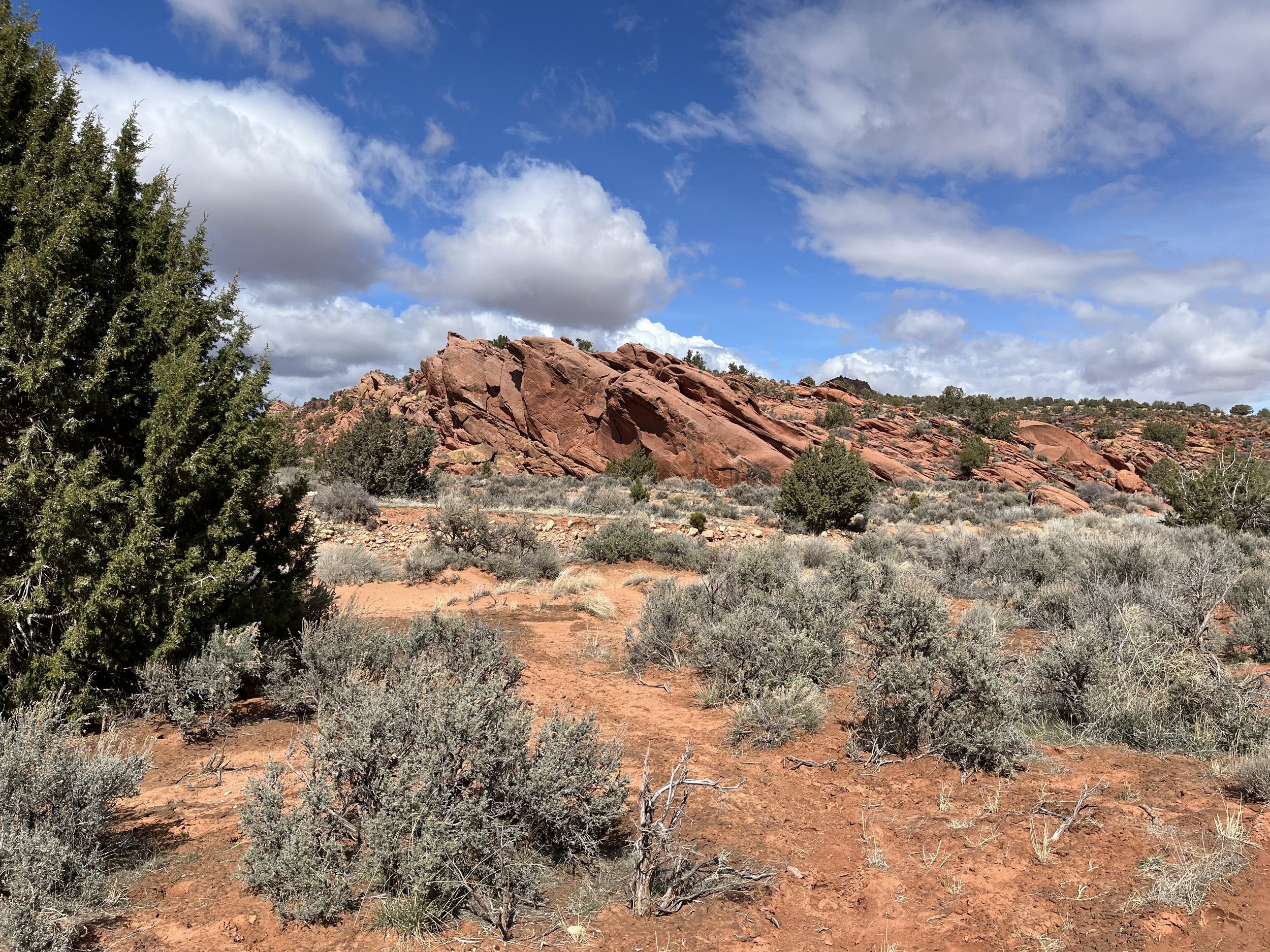
Before departing for Buckskin Gulch, we confirmed that there was no chance of heavy rainfall. The forecast called for isolated showers that would move quickly to the east. Our route followed U.S. Highway 89 to House Rock Valley Road. The 13-kilometer dirt road is not recommended for low clearance cars or any vehicle without four-wheel-drive after rain. While not ideal for the task, we were able to drive our rented Chrysler Pacifica van to the parking area near the Wire Pass trailhead without incident. Wire Pass is a side canyon to the larger Buckskin Gulch. A sign near the trailhead warns, “Flash floods can occur at any time of the year. Canyon is narrow with steep walls.” Crossing a dry creek bed, we followed the trail for 1.2 kilometers to the beginning of Wire Pass Canyon. The sides of the canyon are dark red and brown, the result of a chemical reaction called “desert varnish” where atmospheric oxygen reacts with iron and other elements in the rock. As the canyon grew narrower, I pictured the area as it appeared millions of years ago when it was covered by shifting sand dunes.
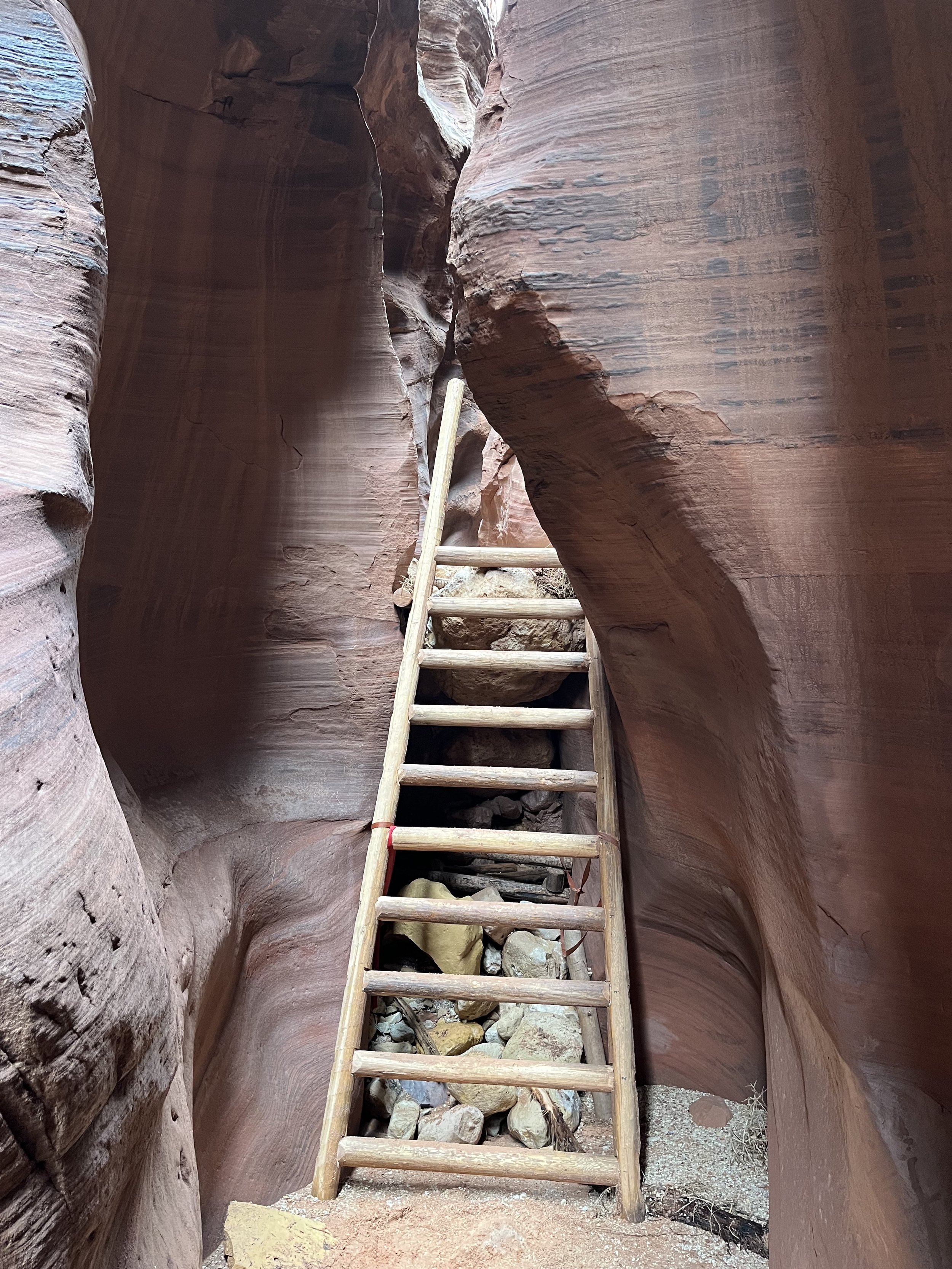
Although the trail through the canyon is mostly level, there are places where hikers must climb rocks or climb/descend wooden ladders to navigate “clock stones,” massive boulders carried by floods that are wedged between narrow sections of the canyon walls. We negotiated one clock stone by descending two meters down a wooden ladder made from pieces of juniper. The rocky canyon floor is interrupted in a few places by stretches of sand and isolated groups of trees and scrubs. With only a narrow passageway upwards, the sun seldom illuminates the canyon bottom. Wire Pass Canyon terminates at Buckskin Gulch. At this confluence hikers can turn left to go upcanyon or right to continue down canyon. With light rain beginning to fall, we decided to return to our van. The dirt road back to the highway was considerably wetter on our return leg. In some places the road’s surface had been transformed into muddy ruts. We elected to keep our speed up to avoid becoming bogged down.


