Colorado. Mysteries of America’s Tallest Sand Dune
Located in the northeastern San Luis Valley, southern Colorado’s massive dune field is something of an enigma. With no ocean or desert nearby, what process could be responsible for mountains of sand ninety meters taller than Egypt’s Great Pyramid? Scientists believe that the dunes were formed thousands of years ago during a period of greater precipitation. At that time, mountain streams carried sediments from the San Juan and Sangre de Cristo Mountains into ancient lakes located on the valley floor. The lakes eventually disappeared but left behind enormous quantities of sand. Blown by the prevailing southwest wind, the sand was funneled through three mountain passes: the Mosca, Medano, and Music and into a curving section of the Sangre de Cristo Mountains. Winds that reversed their direction during storms helped increase the height of the dunes. Today, the dune field is the central attraction within Great Sand Dunes National Park. The park’s landscape is diverse and ranges from wetlands and sand plains to montane forest and alpine tundra. Tree species include Douglas fir, pinyon pine, bristlecone pine, aspen, cottonwood, and mountain juniper. There is also an abundance of wildlife including coyotes, bobcats, kangaroo rats, and fish such as the Rio Grande cutthroat trout.
Humans have occupied the San Luis Valley for more than 11,000 years. The Southern Ute were present when Diego de Vargas, the Spanish Governor in Santa Fe, explored the valley. Zebulon Pike (namesake of Colorado’s Pikes Peak) wrote about the dunes in 1807. Miners, ranchers, farmers and others soon began arriving in the valley and a few homesteaders raised cattle or grew crops there. During the 1920s, the possibility of the dunes being destroyed by concrete operations or gold mining prompted Sisters of the P.O.E. in the nearby towns of Alamosa and Monte Vista to lobby the federal government to protect the dunes. In 1932, the dunes were declared a national monument by President Herbert Hoover. Later, two wilderness areas were designated inside the park: Great Sand Dune Wilderness in 1976 and Sangre de Cristo Wilderness in 1993. In 2004, the monument became a national park and was expanded to its current size of 434 km2. At that time, an additional 168 km2, much of it with the Sangre de Cristo Mountains, was set aside as a national preserve.
Today, Great Sand Dune National Park and Preserve receives about a half million visitors each year. Covering an area of seventy-eight square kilometers, the park/preserve’s dune field is made up of transverse, barchan, reversing, and star shaped dunes. It is estimated that the field contains more than five billion cubic meters of sand.
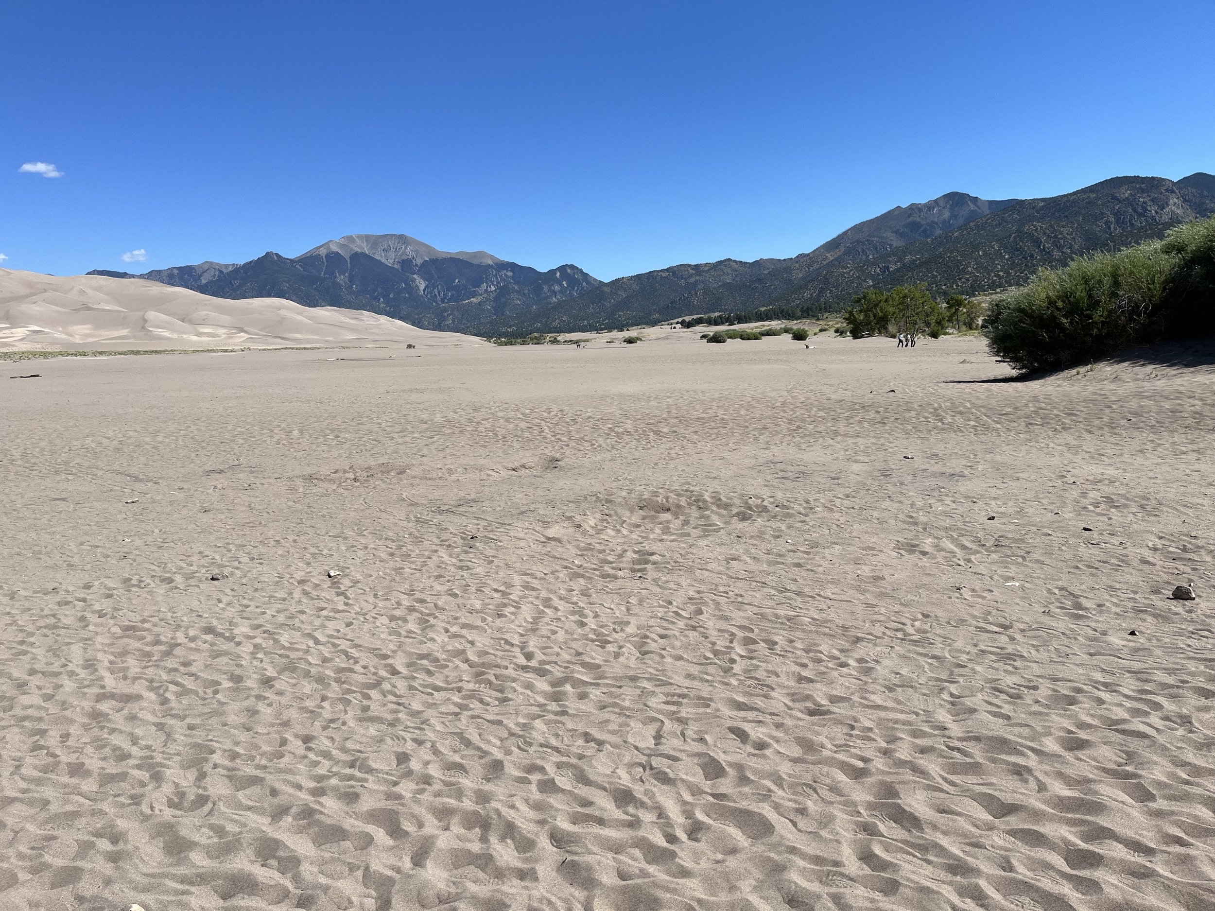
We drove west on Highway 160, crossing the Rio Grande in the town of Alamosa. Continuing north on State Highway 150, we stopped briefly at the park’s visitor center. We continued a few kilometers to a parking area with dune access. From there, hikers cross braided distributaries of Medano Creek to reach the dune field. Dry in the winter, the creek’s surface flow begins to increase as a result of spring (May to early June) snowmelt. During that time, the creek may experience “surge flow,” with larger volumes of water flowing at intervals of twenty seconds. This happens because tiny sand dams suddenly break, releasing water. The dune field can be inhospitable during warmer months with temperatures exceeding 66⁰C. It is recommended that hikers carry shoes to avoid burning their feet in the hot sand.
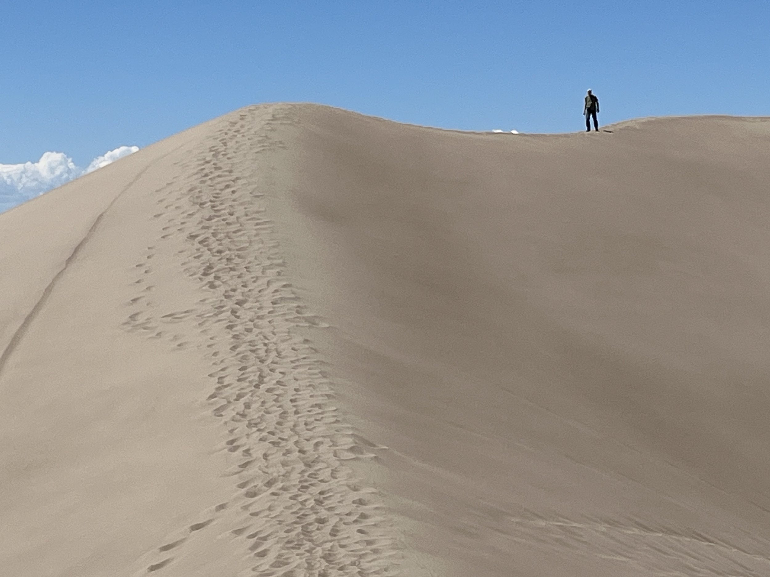
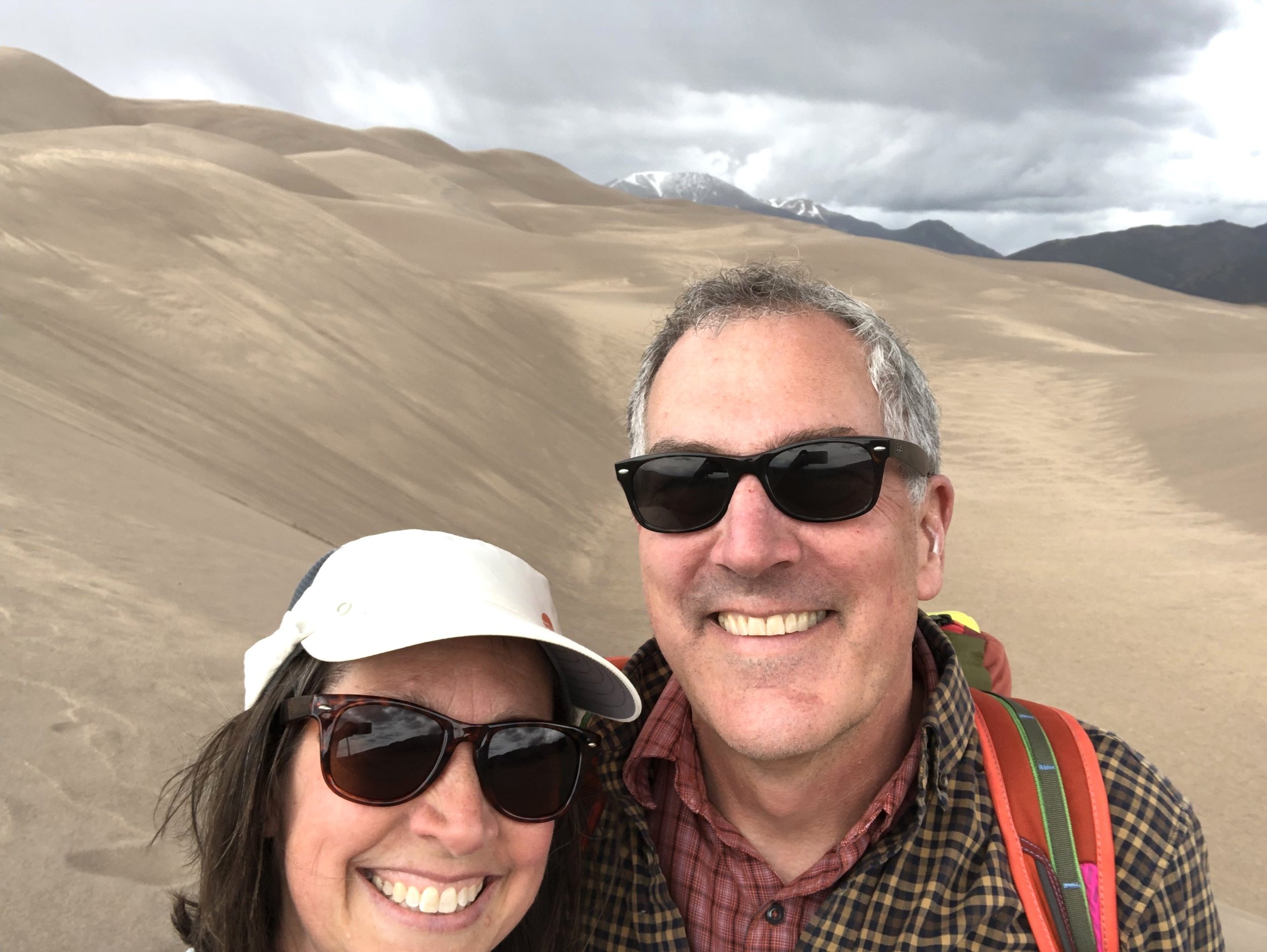
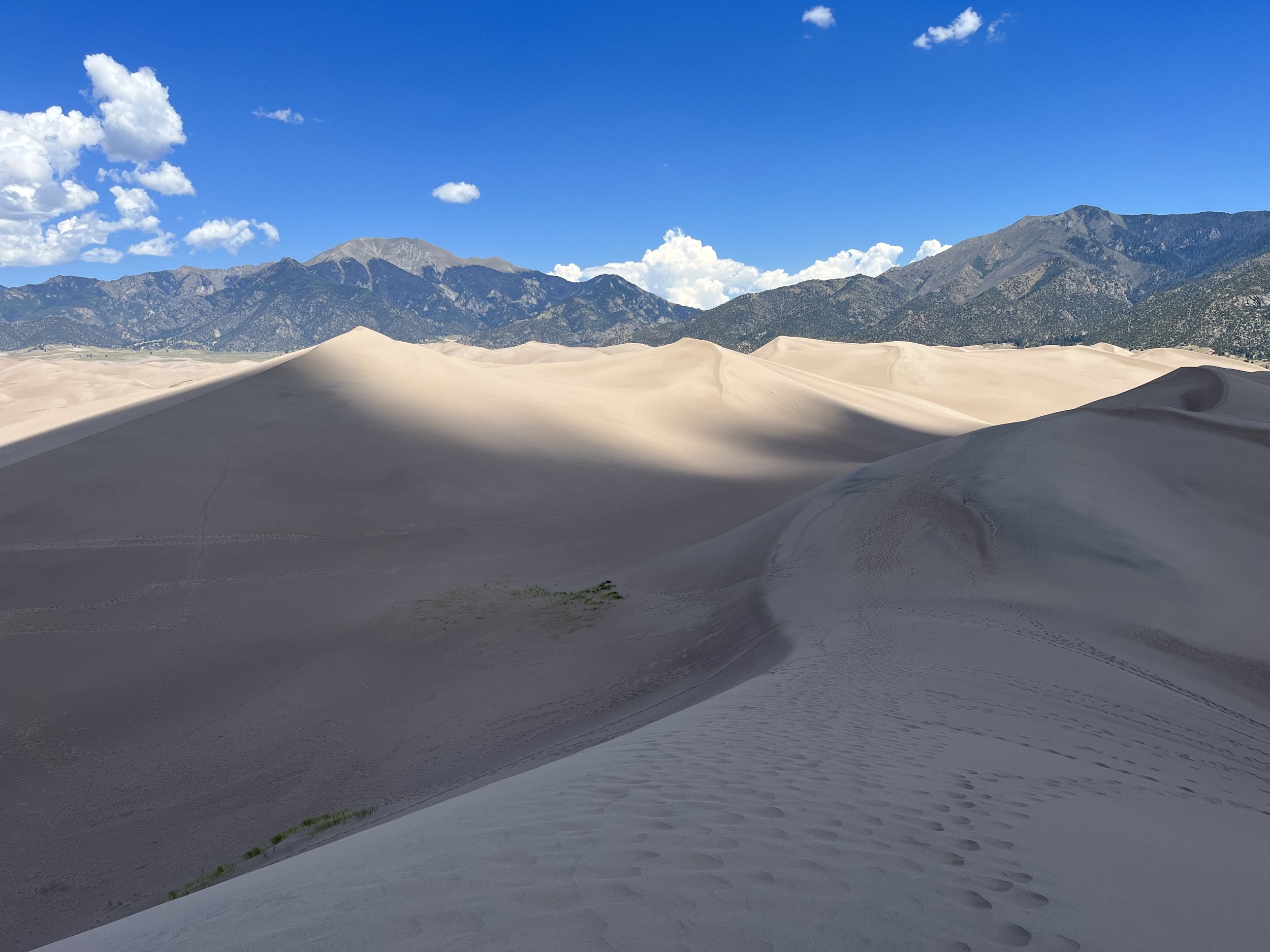
The size and scale of the dune field can be deceiving with distant dunes appearing to be closer than they are. In addition, it may take longer to reach the summit of a dune because of difficulty walking in soft sand. There are no trails, so the Park Service distributes maps with suggested routes. While there is no permit required for day hikes, overnight campers must obtain a backcountry permit. We passed several hikers carrying sleds and a few with snowboards. Snow sleds and snowboards are often not slippery enough to slide down dune faces so local businesses rent specialized sand sleds. Many park visitors climb First Ridge. Although not the tallest, it is the closest high dune to the parking area and offers outstanding scenic views of dunes and distant mountain peaks. We set out on the four-kilometer (round trip) hike to the top of First Ridge. At the halfway point we gave up trying to keep sand out of our shoes. From the summit of First Ridge, it is possible to see other large dunes. However, nowhere is it possible to see the entire dune field since portions are obscured behind peaks and ridges. The summit also offers excellent views of Sangre de Cristo peaks to the north and northeast including Cleveland (4,085m), Tijeras (4,148m) and Music (4,073m). Looking southeast is Blanca Peak (4,366m), near the terminus of the Sangre de Cristos.
After our hike in the dunes, we drove to a Bureau of Land Management area located a few kilometers south of the park called Zapata Falls. A short and well-maintained trail leads to the falls area. Sheltered by a rocky crevasse, the 7.6-meter-high falls can be reached by wading through chilly water. On the southern border of the park is the 416 km2 Zapata Ranch, owned by the Nature Conservancy. The ranch is used for nature workshops and scientific research and is home to a herd of bison.


