Andorra. The Little Country that Could
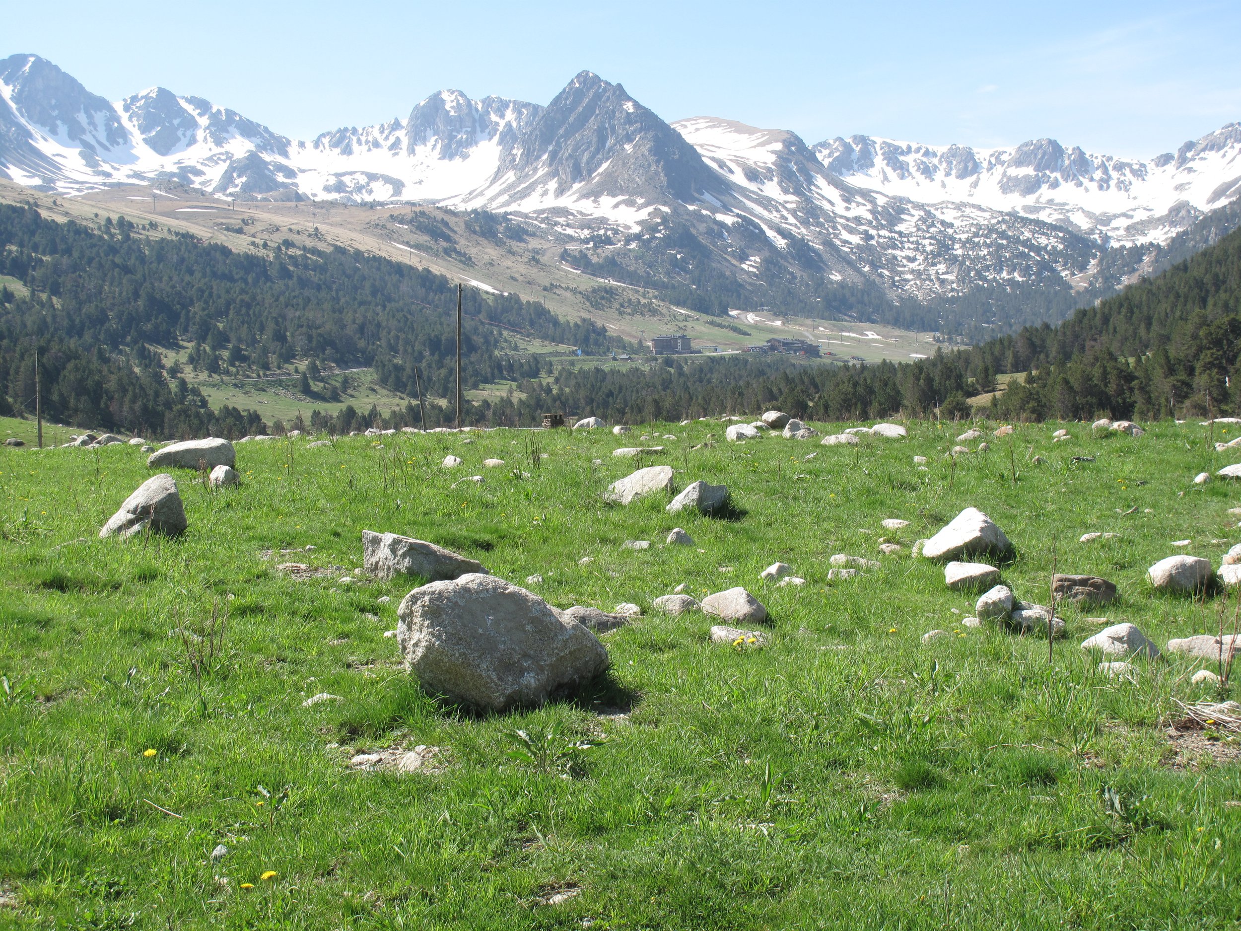
Located in the eastern Pyrenees Mountains between Spain and France, the tiny nation of Andorra is not especially well known. Covering an area of just 468 km2, Andorra is without an airport, standing military, or its own currency. It’s possible to drive across the entire country in about 30 minutes. Although small, the country’s landscape is rugged. Positioned at the meeting point of three glacial valleys, its average elevation of 1,996 meters is fourth highest in the world following Bhutan (3,252m), Kyrgyzstan (2,988m), and Lesotho (2,161m). In part because of its isolation, Andorra has few international ties outside of Spain, France, and Portugal.
The region where Andorra is located has been occupied by humans since the 7th century BC. It was first known to the outside world when the Greek historian Polybius (200-118 BC) described a 218 BC military encounter between Andorrans and Carthaginian troops commanded by Hannibal who were on their way to attack Rome. Following a Roman presence, the area fell under the influence of the Visigoths. It is believed that Andorra gained its identity when Frankish King Charlemagne (768–814) created the Hispanic March, a line of buffer states intended to block the northward movement of Muslim Moors who occupied much of present-day Spain.
Today, Andorra has a parliamentary system of government overseen by two “princes,” the Bishop of Urgell in Catalonia (Spain), and the elected president of France. Although the country’s official language is Catalan, permanent residents of Andorra may speak French, Portuguese, and/or Spanish. Although traditionally centered on agriculture, the country’s economy has diversified into banking and tourism. More than 60% of its 79,000 residents live in urban areas.
Our visit to Andorra began at the rental car counter at El Prat Airport in Barcelona (our rental car was a BMW – how I love Europe!). The 200-kilometer drive to the country’s capital, Andorra la Vella, took less than three hours. Built in a narrow valley, Andorra la Vella’s appearance contrasts with stately building and monuments found in other European capitals. With salons, shops, cafes, and restaurants, the city feels more like a ski resort than a capital city. Along with glistening high rises are older buildings of Barri Antic, the city’s historic section. On each side of Barri Antic’s cobblestone streets are bars and outdoor cafes and a few older structures such as Casa de la Vall. Built from stone in 1580, Casa de la Vall has windows with wooden shutters and gun turrets on each corner. For many years it served as headquarters for the General Council of Andorra. We toured its ground floor that once served as a courtroom. On the first floor is the former Council Chamber with its famous “Closet with Seven Keys,” a large box containing historical documents said to be accessible by key holding representatives from each of Andorra’s seven parishes.
Driving northeast to Canillo, we passed the town of Encamp. Constructed in the Romanesque style during the 11th and 12th centuries is Sant Joan de Casellas Church with its rectangular nave (central area), Lombardian bell tower, and semi-circular apse. Another impressive church is Saint Serní de Llorts, which features a gabled roof topped by a small bell tower. Inside is a Baroque altar built in the 17th century. On our return drive we stopped at the Pont d’ Ordino stone footbridge near Llorts and a small farm where tobacco was being planted. Because of its strength, Andorran tobacco is often mixed with tobaccos grown in other European countries. Other crops grown in Andorra include wheat, olives, potatoes, grapes, and rye. Only 2% of the country’s area is arable with most land outside villages in communal ownership including wooded areas and alpine meadows. Our final stop was Soldeu, a village that is part of the Grandvalira Ski Resort. In 2012, the resort hosted World Cup women’s slalom races and in 2019, World Cup men’s downhill skiing.
Having thoroughly enjoyed Andorra, we crossed the border into France, bound for the city of Perpignan near the French Mediterranean coastline. Along the way we made a brief stop in the Spanish exclave of Llívia (population 1598). Entirely surrounded by France, Llívia has a unique story. At the end of the Franco-Spanish War (1635–1659), a treaty established the Pyrenees Mountains as the dividing line between Spain and France with a stipulation that villages on the north side of the mountains would be ceded to France. Since Llívia was considered a city rather than village, it has remained part of Spain.


